Mooroolbark and Lilydale new stations
November 19th saw both Mooroolbark station and Lilydale station re-open for revenue service, after being closed down in order remove level crossings at Manchester Road and the Maroondah Highway. The removal of these level crossings included two new elevated stations at Mooroolbark and Lilydale.
I decided that visiting these two stations would be a decent use of my time.
Mooroolbark
My first stop was the new Mooroolbark station, which I felt looked pretty decent despite not even being completed yet.

The new station utilizes an island configuration (as opposed to the old station which utilized a side configuration) and features both stairs and lifts to get from the concourse to the platforms. There was plenty of shelter, plenty of places to sit, and plenty of places to see from the platform.

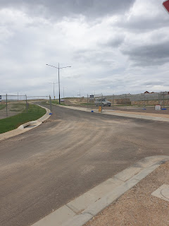
As mentioned before, the station has not finished construction. You can currently only access the station from Brice Avenue, Bus stops are currently very far away, and one can see the construction of the multi-level carpark that will continue to contribute to car culture and the neglect of Public Transport in the area.

Overall, decent station that I expect will be significantly better once it is fully completed.


Lilydale
After walking across Hull Road, I managed to find the new Lilydale station.

The first thing I noted was that the old Station and Bus interchange were still around, although obviously no services would be utilizing these areas.

The new station is located to the south of the Maroondah Highway, although one can there is an entrance on both sides. Really good forward thinking that I wish was used more often.
The new station reminds of Mernda, the two entrances, the island configuration, the fact that there is very little shelter between the end of the platform and the northern entrance...

There is still quite a bit of things that need to be finished. The northern entry does not have lift access, meaning that people that need to use will have to cross the highway, and I also noted some stairs near the bus interchange that were blocked off.
The actual station itself is fairly similar to Mooroolbark for the most part, less shelter but a better modal interchange from the get-go. One thing I really liked was watching cars go over the Melba Avenue level crossing from the station. The crossing is expected to be closed in the near future so it is definitely nice to see it before it goes.

That leads me to the new bus interchange, located on the western side of the station. From my brief glance at the interchange, it appears to be much more pedestrian-friendly, with all stops being located on the one side. The only exception to this was the bus stops for the 683 and 684, which are located on the Maroondah Highway.


Overall, decent station.

Other notes
It has been a while since I had visited the Lilydale area, so it was a chance to see the new Flexiride service that replaced both the Telebuses and the route 676. While I never rode the service, it was still cool to see the new bus stop designs that were scattered throughout the area.

My other note relates to the Kinley housing estate, a new development being built over the Cave Hill quarry. Some suggested that the level crossing removals should of coincided with a new station near the new estate, but that obviously did not happen.
Conclusion
So that is my thoughts on the new stations that opened on Friday. Hopefully you enjoyed reading this, but if you do not, I compeltely understand.


Comments
Post a Comment